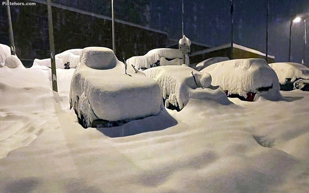
The recent “Retour d’Est” weather event brought impressive snowfalls across the French Alps, particularly in the regions around the source of the Arc and Isère rivers. The highest April snowfall since 1962 in some areas according to Meteo France. The event was very late, almost outside the normal ski season. In 2024 the Retour d'Est occurred at the end of February and beginning of March 2024).
The highest accumulations were recorded at:
Official snow-weather observation :
The Vanoise area was especially affected, with major snowfall recorded at:
In the Mont-Blanc range, noteworthy totals include:
Some of these measurements even set new daily snowfall records (regardless of the season) for official nivo-meteo observers:
Why was the episode so late?
As explained in yesterday's Dauphiné newspaper, the break-up of the polar vortex at the end of each winter season allows cold air masses to descend on Europe, energizing the situation at local level in particular. A low-pressure system developed in the Gulf of Genoa with a very dynamic flow. Accompanied by a significant thermal gradient (difference) between Central Europe and the Atlantic Ocean. This resulted in a significant contribution of humidity and an isothermal effect (lowering of the rain/snow limit) that was very marked at the Italian border and the Savoie.
Winters are increasingly uneven, as cold air masses find it harder and harder to descend to the French mountains. As a result, they are less able to provide enough momentum for major snowfalls. As a consequence a major air mass conflict and, consequently, a dynamic situation can sometimes only occur at the end of winter. The intensity of this episode may have been exacerbated by climate change.
source: Meteo France
see alsp: https://pistehors.com/NHweQI0B1g7SdbHcOem-/whiplash-weather-brings-feast-and-famine-to-ski-areas