Minimum altitude: 152 meters
Distance: 81.2 km
Slope Aspect: East
Vertical Climbed: 1,842 meters (6,044 feet)
Vertical Descended: 1,828 meters
Rating: 4
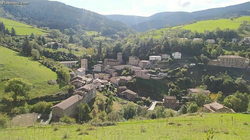
The Crêt de l'oeillon is a bit like le Mont Ventoux for the Lyonnais. A mythic summit that you can see in the distance from downtown Lyon. The climate this autumn hadn't been bike friendly. Lots of wind and rain rather than the Indian summers we've been used to in recent years. Today looked acceptable. Not warm but sunny and dry. I took the train from Lyon to St Clair les Roches. A 20 minute trip from Lyon for 8.50 euros. Something that takes an hour by car. St Clair looked like such a charming town down by the river but I soon came upon a huge industrial complex which was slightly less charming. There are a series of these all down the Rhone. Nice.
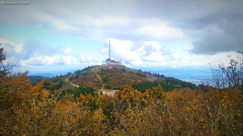
The climb up from the river is steep but you then reach a plateau which is relatively flat to Pelussin. This is where the real climb begins. 16km or so of 7% grades. Worthy of an Alpine pass. The real climb starts in Chavanay at 154 meters finishing at the Crêt de Botte at 1391 meters. 1237 meters of climbing in total. Not bad for hills! From Pelussin I tapped out the KM to the summit; trying hard to keep my HR under LT1 (or zone two as it is commonly known). Only the final km is flat as the col is a bit of a plateau. There is then a final km to the Crêt de l'oeillon or its taller twin, the Botte. Both are capped with installations: TV/Radio/Phone or some such and heavily fortified.
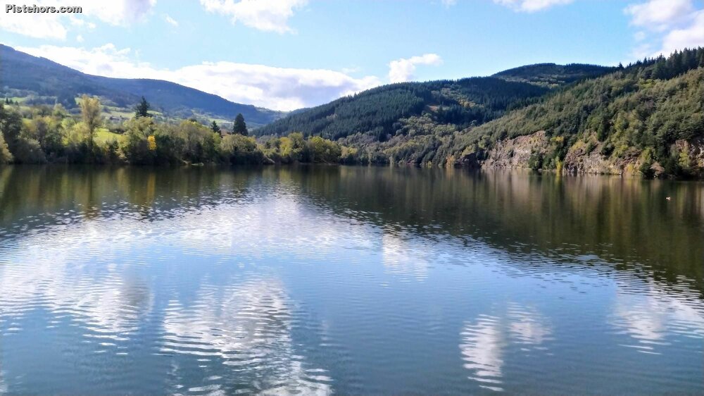
I had quite a ride to Givors. About 55km. The first 18 were a descent to the reservoir at Dorlay then an 8km climb via the col du Croix du Mazet and the col de Pavezin then the Col de la Croix Regis. This was over typical Ardeche roads and villages but the backroads were busy and the driving standards were not always the best with some very close passes.
Ave temp 12C, 6C at the summit. Very damp in the woods. Roads generally ok, a bit of gravel on corners here and there